
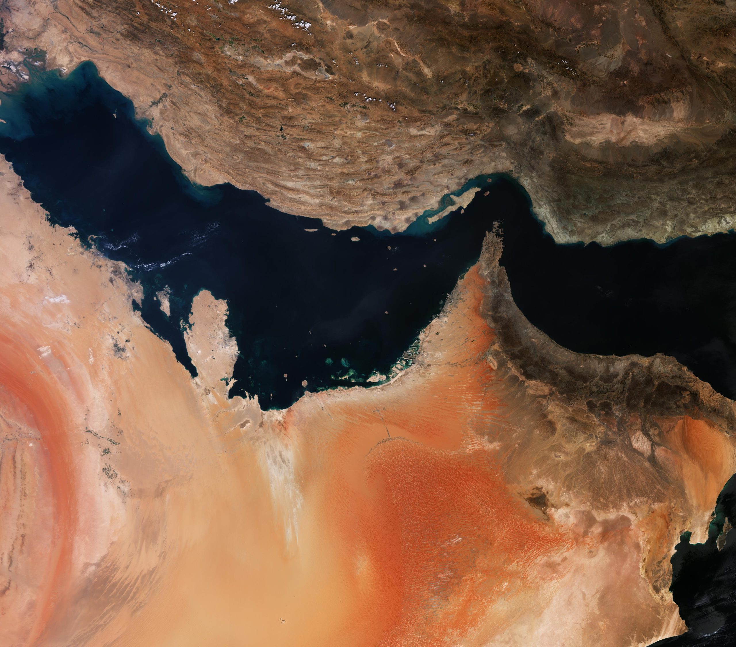
The European Union has ordered a 24-hour delay in releasing Sentinel-1 and Sentinel-2 imagery covering a specific area of the Gulf of Oman, following a U.S. request citing security concerns. The delay applies to shipping routes near the Strait of Hormuz and represents an exception to Copernicus' free and open data policy. The Council of the EU decision, dated July 13 and confirmed in documents reviewed by SpaceNews, came through a diplomatic request submitted by U.S. authorities on May 26 under the EU's Space Threat Response Architecture framework.
The restricted area is defined by five sets of coordinates covering routes to and from the Strait of Hormuz, a region central to U.S. tensions with Iran. The Council justified the delay as necessary to prevent Copernicus products from being used by third states or non-state actors in ways that could threaten EU interests, member states, or their allies in the region. The EU's Political and Security Committee approved the restriction on June 10. A European Commission spokesperson characterized it as a routine security measure, stating that limitations to Copernicus' open data policy are permitted for security reasons and that similar restrictions are common among satellite operators.
The decision complicates recent efforts by European Earth observation companies to position themselves as alternatives to U.S. providers, particularly as Planet and Maxar (now Vantor) restricted access to Gulf imagery following similar U.S. requests. In May, European firms had highlighted Copernicus' unrestricted access as a competitive advantage, with customers including energy traders, insurers, shipping firms and news organizations seeking independent monitoring of the Strait of Hormuz after U.S. providers withdrew imagery.
The Council decision does not specify when the delay took effect, how long it will remain in effect, or when it will be reviewed. As of publication, the decision had not appeared in the EU's Official Journal.